Big Sur on Highway 1
America's most cinematic coast. Bixby Bridge, McWay Falls, redwood pull-offs, and a hundred reasons to stop. Drive south so you're on the ocean side.
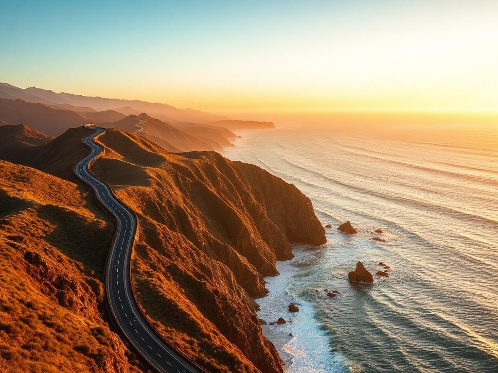
The Big Sur on Highway 1 is a 145 km coastal road in California, USA. It runs from Carmel to San Simeon in about 4 hours of driving. Highlights include Bixby Creek Bridge, Pfeiffer Beach and McWay Falls. Best driven March – November; rated moderate difficulty.
- Distance
- 145 km
- Duration
- 4 hrs
- Vehicle
- Car
- Difficulty
- Moderate
- Best season
- March – November
- Likes
- 14,800
The route at a glance
Stops along the way
- ●
- 01
- 02
- 03
- 04
- ◆
Travel tips
- ★Check for landslide closures.
- ★Fuel is sparse — fill at Carmel.
- ★Nepenthe at sunset is non-negotiable.
Music for the road
AI-curated mood for this route — open in your favorite player.
Community comments
Be the first to share a tip about this route.
Frequently asked
How long does it take to drive the Big Sur on Highway 1?
The Big Sur on Highway 1 takes about 4 hours of driving non-stop to cover its 145 km. Actual trip length depends on how often you stop at viewpoints and towns along the way.
How long is the Big Sur on Highway 1?
The Big Sur on Highway 1 is 145 km long, running from Carmel to San Simeon.
When is the best time of year to drive the Big Sur on Highway 1?
The Big Sur on Highway 1 is generally best driven March – November. Check local road and weather conditions close to your departure date.
Is the Big Sur on Highway 1 hard to drive?
The Big Sur on Highway 1 is rated moderate difficulty. It is classified as a coastal road.
What are the main stops on the Big Sur on Highway 1?
The route runs from Carmel to San Simeon, with key stops including Bixby Creek Bridge, Pfeiffer Beach, McWay Falls, Nepenthe.
Where is the Big Sur on Highway 1?
The Big Sur on Highway 1 is located in California, USA. It runs between Carmel and San Simeon.